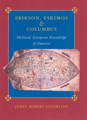
Erikson, Eskimos & Columbus
Published by Johns Hopkins University Press
This revealing analysis of Medieval cartography and native American travel upends conventional narratives about discovering the New World.
For generations, American schools have taught children that Christopher Columbus discovered America in 1492. But evidence shows that Leif Erikson set foot on the continent centuries earlier. As debate continues over which explorer deserves the credit, early maps of North America suggest that we may be asking the wrong questions. How did medieval Europeans have such specific geographic knowledge of North America, a land even their most daring adventurers had not yet discovered?
In Erikson, Eskimos, and Columbus, James Robert Enterline presents new evidence that traces this knowledge to the cartographic skills of indigenous people of the high Arctic, who, he contends, provided the basis for medieval maps of large parts of North America. Drawing on an exhaustive chronological survey of pre-Columbian maps, including the controversial Yale Vinland Map, this book boldly challenges conventional accounts of Europe’s discovery of the New World.
BUY NOW FROM
COMMUNITY REVIEWS

